Booking choice: The choose-your-route hike, ★ 5.0 (58). Check dates Compare the options below
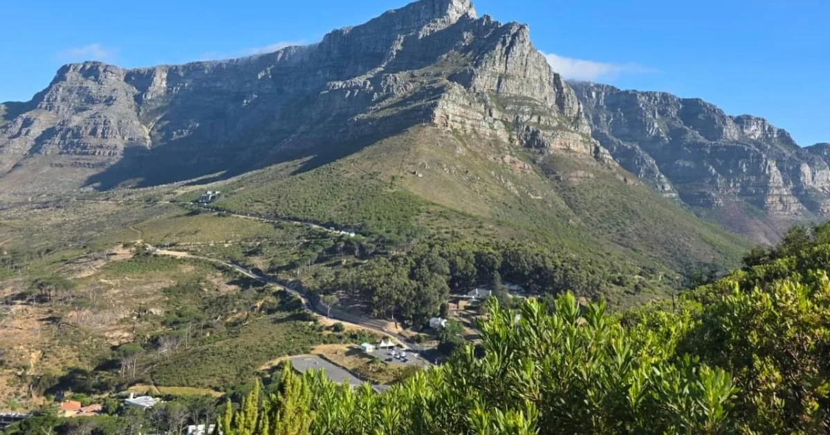
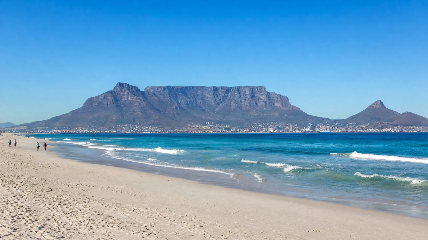
Table Mountain has hundreds of kilometres of paths, but only a handful of routes that visitors actually use to reach the top. They start on three sides of the mountain: the front face above the city (Platteklip Gorge and India Venster), the Kirstenbosch side at the back (Skeleton Gorge and Nursery Ravine), and the Atlantic side above Camps Bay (Kasteelspoort, reached from Camps Bay or along the Pipe Track). They differ far more than the map suggests: one is a long staircase in full sun, one is a scramble on metal staples, one is a forest path with wooden ladders.
This guide compares them in one table, then answers the questions people ask before choosing: which route is easiest, which is hardest, which to take on a hot day, which are quiet, which you can walk down, and when a guide makes sense. How long each takes in detail is in how long it takes to hike Table Mountain; how hard and how safe the hike is, in the difficulty and safety guide.
The quick answer
Platteklip Gorge is the easiest and most popular way up: about 2.5 to 3 km of stone steps from Tafelberg Road, roughly 650 to 700 m of height gain, 2 to 3 hours for most people. India Venster starts near the Lower Cable Station and is the hardest standard route, with exposed scrambling on staples and chains: experienced hikers or a guide only, and never on the way down. Skeleton Gorge starts inside Kirstenbosch Garden and is shaded forest with wooden ladders, the best choice on a hot day; Nursery Ravine next to it is usually the way down. Kasteelspoort, from Camps Bay or along the level Pipe Track from Kloof Nek, is the quietest and most scenic. From the Upper Cable Station, Maclear's Beacon, the highest point at 1,086 m, is an easy 5.5 km return walk. There is no gate or ticket on the front-face and Camps Bay routes; for the Kirstenbosch routes you enter through the garden first.
What is the best Table Mountain hike?
For a first visit, Platteklip Gorge: it is the most direct route, has no scrambling, is busy all day and brings you out a short walk from the cableway. The best route for you depends on the weather, your fitness and whether you want company or quiet.
The table below lists every route visitors commonly use, with distances and times for the way up. Figures come from SANParks, the cableway company and experienced guides; they vary between sources, so treat them as a range, not a promise. Times are for a steady pace with short rests. Difficulty describes the path in good weather: wind, heat or rain make every route harder.
| Route | Start | Distance | Time up | Difficulty | Best for |
|---|---|---|---|---|---|
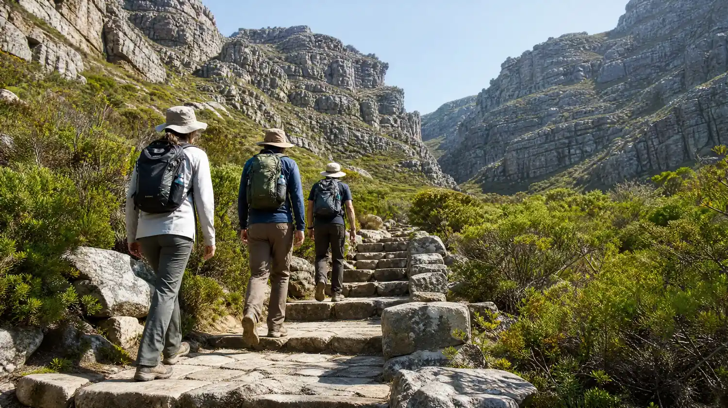
| Platteklip Gorge | Tafelberg Road, front face | About 2.5 to 3 km one way | 2 to 3 hours (fit hikers 1.5 to 2) | Steep but straightforward: stone steps, no scrambling | First-timers, and the usual way down |
| India Venster | Near the Lower Cable Station | About 3 km one way | 3 to 4 hours | Hardest standard route: exposed scrambling, staples and chains | Confident hikers with a head for heights, ideally with a guide |
| Skeleton Gorge (Smuts Track) | Kirstenbosch Garden | About 3 km to the back table | Roughly 2.5 to 3 hours to the reservoirs | Long and steep, wooden ladders, slippery when wet | Hot days: shaded forest almost all the way |
| Nursery Ravine | Kirstenbosch Garden | Loop with Skeleton Gorge about 8 to 10 km | Loop 3.5 to 5 hours | Steep and stepped | The way down on a Kirstenbosch loop |
| Kasteelspoort | Theresa Avenue, Camps Bay | About 6.5 km return | Roughly 2 to 2.5 hours to the top of the ravine | Moderate, more forgiving gradient | Quiet trails, sea views, the Diving Board rock |
| Pipe Track to Kasteelspoort | Kloof Nek | About 11 to 12 km return | 3 to 5 hours return | Level path, then the ravine | A longer, gentler start along the Twelve Apostles |
| Constantia Nek (Bridle Path) | Constantia Nek | Forest road to the reservoirs | 4 to 6 hours in total | Moderate: long rather than steep | A gentle gradient on the back of the mountain |
| Maclear's Beacon | Upper Cable Station | 5.5 km return | About 2 hours return | Easy, rocky plateau path | The highest point, after the cableway or a hike |
What is the easiest hike up Table Mountain?
Platteklip Gorge is the easiest way up: a well-built path of stone steps with no scrambling, ladders or chains. It is not easy in the sense of gentle, though: it gains roughly 650 to 700 m in about 3 km, almost all of it on steps.
SANParks describes the path as well built with stone steps and anti-erosion gabions and not difficult to negotiate at any point, but steep. That is a fair summary. You start on Tafelberg Road, cross the Contour Path and then zigzag up the main gorge that splits the front face, with nothing to navigate: the gorge funnels you to the top, and you are rarely alone on it. It faces north, so it gets full sun from mid-morning; start early.
If you want Table Mountain with as little effort as possible, ride the cableway up and walk to Maclear's Beacon across the top, or join the short guided walks included with your cableway visit. The level Pipe Track from Kloof Nek is also easy walking, with big views over the Atlantic, but it runs along the side of the mountain and does not reach the top on its own.
Which is the hardest route up Table Mountain?
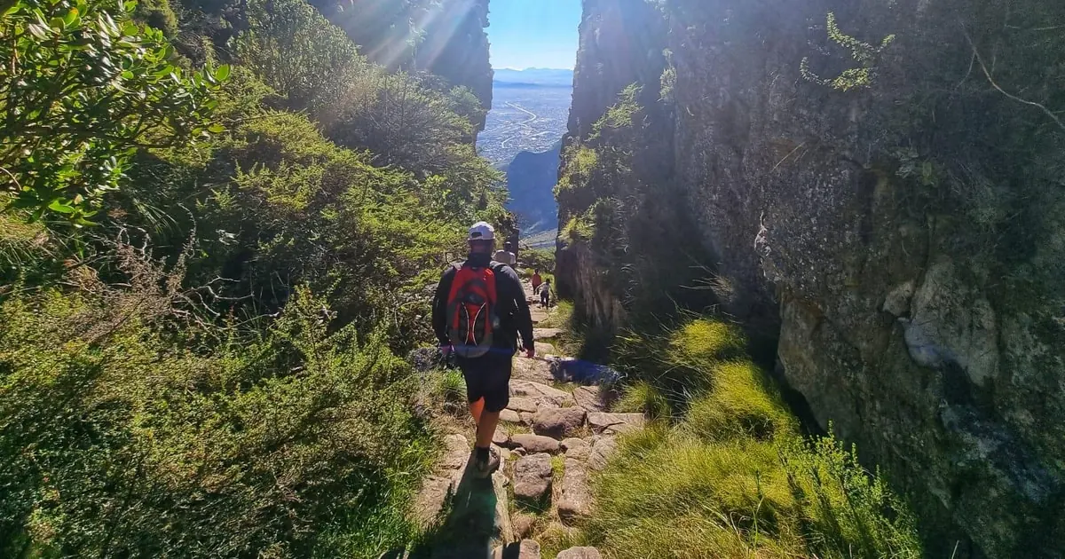
India Venster, the hardest standard route. It goes up the front face roughly beneath the cableway, with exposed ledges, easy scramble sections and one short, steep section fitted with metal staples and chains.
The cableway company rates India Venster extremely difficult and for experienced hikers only; it is about 3 km (sources give 2.9 to 3.7 km) and takes 3 to 4 hours up. Guides reckon a small share of the route is scrambling, on rock where you use your hands; the rest is steep, rocky path with big drops beside it. The name means window: the route passes a gap in the rock above India Ravine, with the city straight below. It is a superb route in dry, calm weather, and the wrong choice in wind, rain or cloud, or for anyone uneasy with heights.
If you have hiked on exposed rock before, you can do it on your own, but most first-timers go with a guide. The half-day India Venster hike (4.9 from 18 reviews) starts at the Lower Cable Station and takes about 4.5 hours; the guides coach you through each scramble, and one reviewer praised clear instructions on the rock even in the difficult passages.
India Venster with a qualified guide who shows you where to put your hands and feet on every scramble, then the view from the top.
Check dates for the India Venster hikeWhich Table Mountain route is best on a hot day?
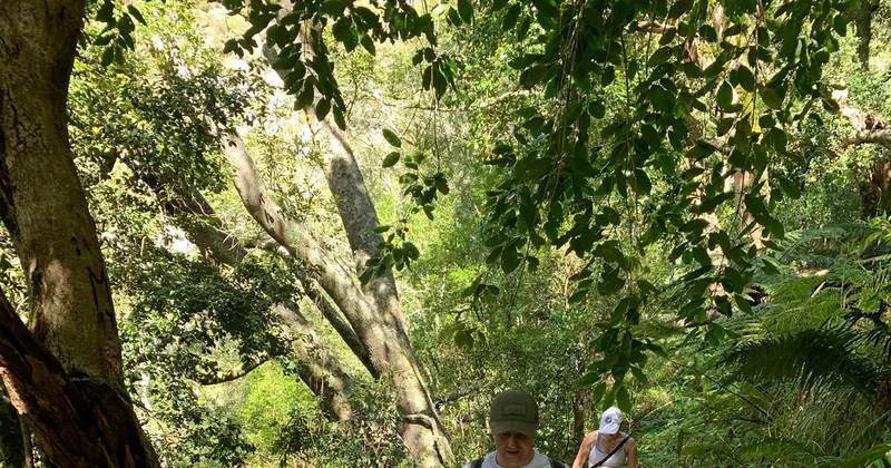
Skeleton Gorge, from Kirstenbosch. It goes up the shaded back of the mountain through Afromontane forest almost all the way, so it stays far cooler than the sun-baked front face. The catch: it is long and steep, with wooden ladders, and slippery after rain.
You enter through Kirstenbosch Garden first (the garden has its own entry ticket), then follow the Smuts Track from near the Fragrance Garden into the gorge. The path climbs beside a stream, up wooden ladders next to small waterfalls and over polished rock, and comes out on the back table near the reservoirs, with their sandy shores. SANBI, which runs the garden, calls it a long and very strenuous route and warns that it is very slippery in winter and dangerous after heavy rain, so it is a summer route above all. See SANBI Kirstenbosch for garden hours.
From the reservoirs it is a long walk across the plateau to Maclear's Beacon and on to the cableway, so many hikers come back down Nursery Ravine to Kirstenbosch instead, a loop of about 8 to 10 km. The Constantia Nek route, a forest road to the same reservoirs, is the gentler alternative on this side. The guided Skeleton Gorge hikes on GetYourGuide are covered in the best time to hike Table Mountain.
Which route is the quietest and most scenic?
Kasteelspoort, on the Atlantic side above Camps Bay. It sees far fewer hikers than Platteklip, the gradient is more forgiving, and you look over the Twelve Apostles and the ocean most of the way.
The shorter start is a jeep track from Theresa Avenue in Camps Bay, about 6.5 km return. The longer one leaves Kloof Nek along the Pipe Track, a level contour path along the Twelve Apostles, before turning up the ravine: about 11 to 12 km return. Near the top of the ravine is the Diving Board, a flat rock ledge jutting out high above Camps Bay and the most photographed spot on this side. The path tops out on the back table, a long way from the cable station: reaching the cableway means roughly 2 more hours across the plateau.
Because it is quieter, Kasteelspoort is a route where hiking in a group matters more. You can walk it independently if you know the way; a guide adds the navigation across the top and the company. Myburgh's and the other ravines on this side are rougher and poorly signposted, not routes for a first visit.
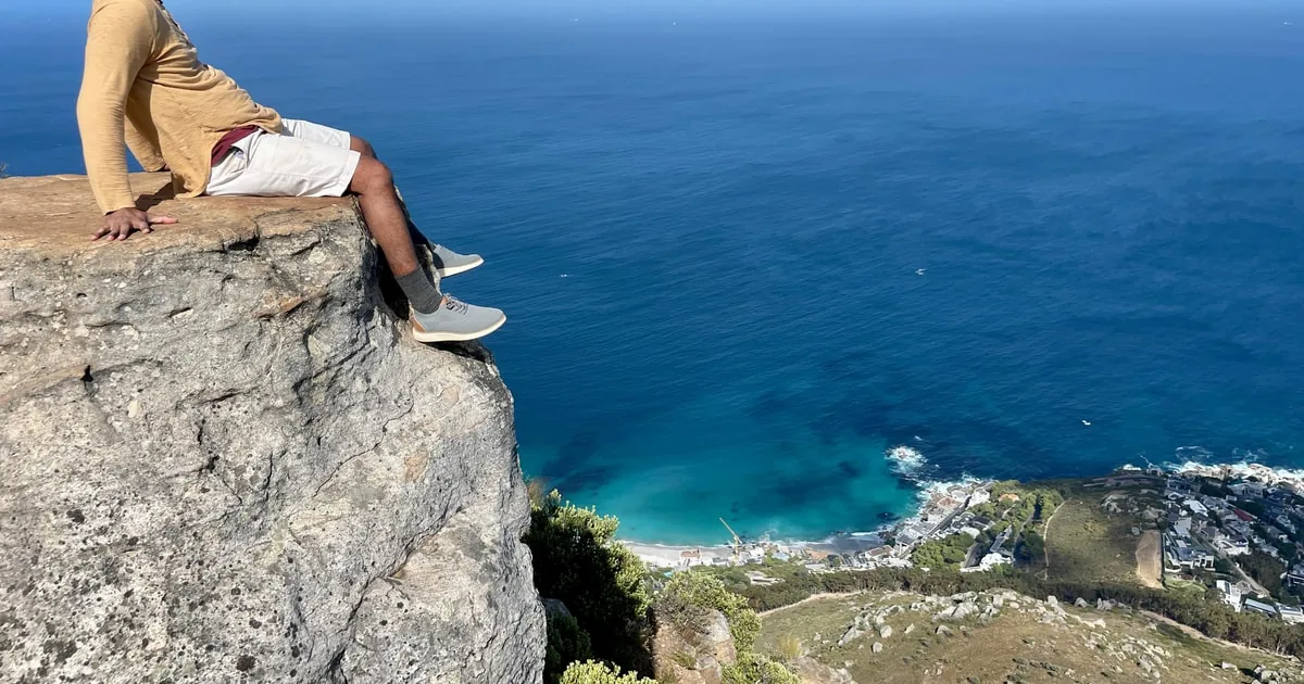
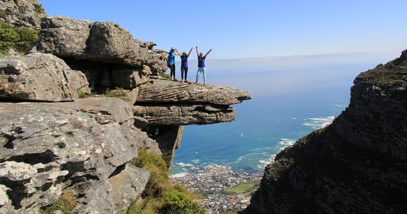
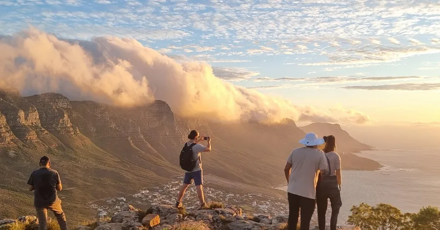
The Kasteelspoort hike collects you from the city or the Atlantic Seaboard, walks up the quieter Camps Bay side past Breakfast Rock and the Diving Board, then crosses the plateau through the Valley of the Red Gods to the top station. It is longer than Platteklip, and the listing calls the gradient more forgiving.
Explore the Kasteelspoort hikeWhich routes can you walk down?
Platteklip Gorge is the standard way down on foot, and the one to use if the cableway closes. Nursery Ravine is the usual descent to Kirstenbosch, and Kasteelspoort can be walked down the way you came. Never walk down India Venster.
Most hikers go up on foot and ride the cableway down, which is the easiest way to save your knees; the one-way ticket is bought separately from any guided hike. But the cableway runs weather permitting, and wind can stop it at short notice, so every hiker should know the way down. From the Upper Cable Station, Platteklip Gorge is a short walk east along the edge (the Klipspringer Walk leads towards it), and the steps take most people about 1.5 to 2 hours down.
India Venster is a route to go up only: the scrambles and ledges are far harder and more exposed when you are facing down, and guides universally avoid it as a descent. Skeleton Gorge is best avoided as a way down after rain, when the rock and ladders are slippery. How much time to leave for the way down, and for the last car, is in the timing guide.
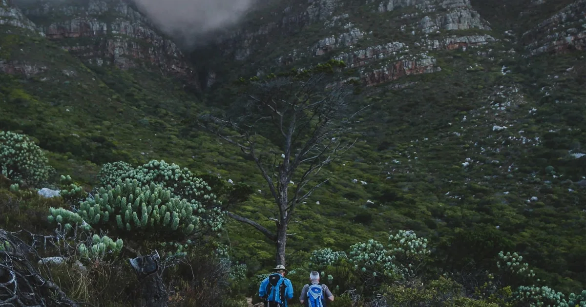
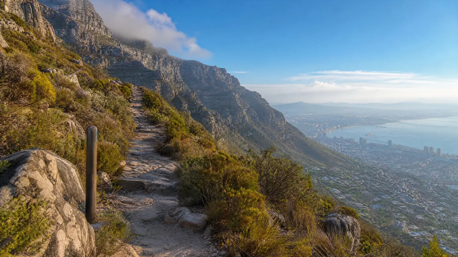
The classic Platteklip Gorge route with a qualified guide, pickup in the City Bowl, water and a snack, then time on the top before you ride down.
Check dates for the Platteklip Gorge hikeIs it possible to hike Table Mountain without a guide?
Yes. Platteklip Gorge needs no guide: there is no gate or ticket on the trail, the path is obvious and it is busy all day. On India Venster, Kasteelspoort and Skeleton Gorge a guide adds much more: navigation, coaching on the harder sections and a group.
Most people hike Platteklip on their own. If you are reasonably fit, go early, go with at least one other person (SANParks suggests groups of four or more) and carry water and a warm layer, you do not need anyone to show you the way. What a guide adds on Platteklip is the rest of the experience: the pace, the stops, first aid, the stories about the fynbos and the history, and on some tours transport from your hotel.
On the other routes a guide changes what you can safely do. India Venster has scrambles where coaching helps; Kasteelspoort and the Kirstenbosch routes are quieter, with junctions on the plateau where hikers take wrong turns in cloud. The choose-your-route hike (5.0 from 58 reviews) lets you pick Platteklip, India Venster, Skeleton Gorge, Kasteelspoort or Lion's Head and a starting point, and the guide takes your photos on the way. All the guided hikes are compared on the homepage.
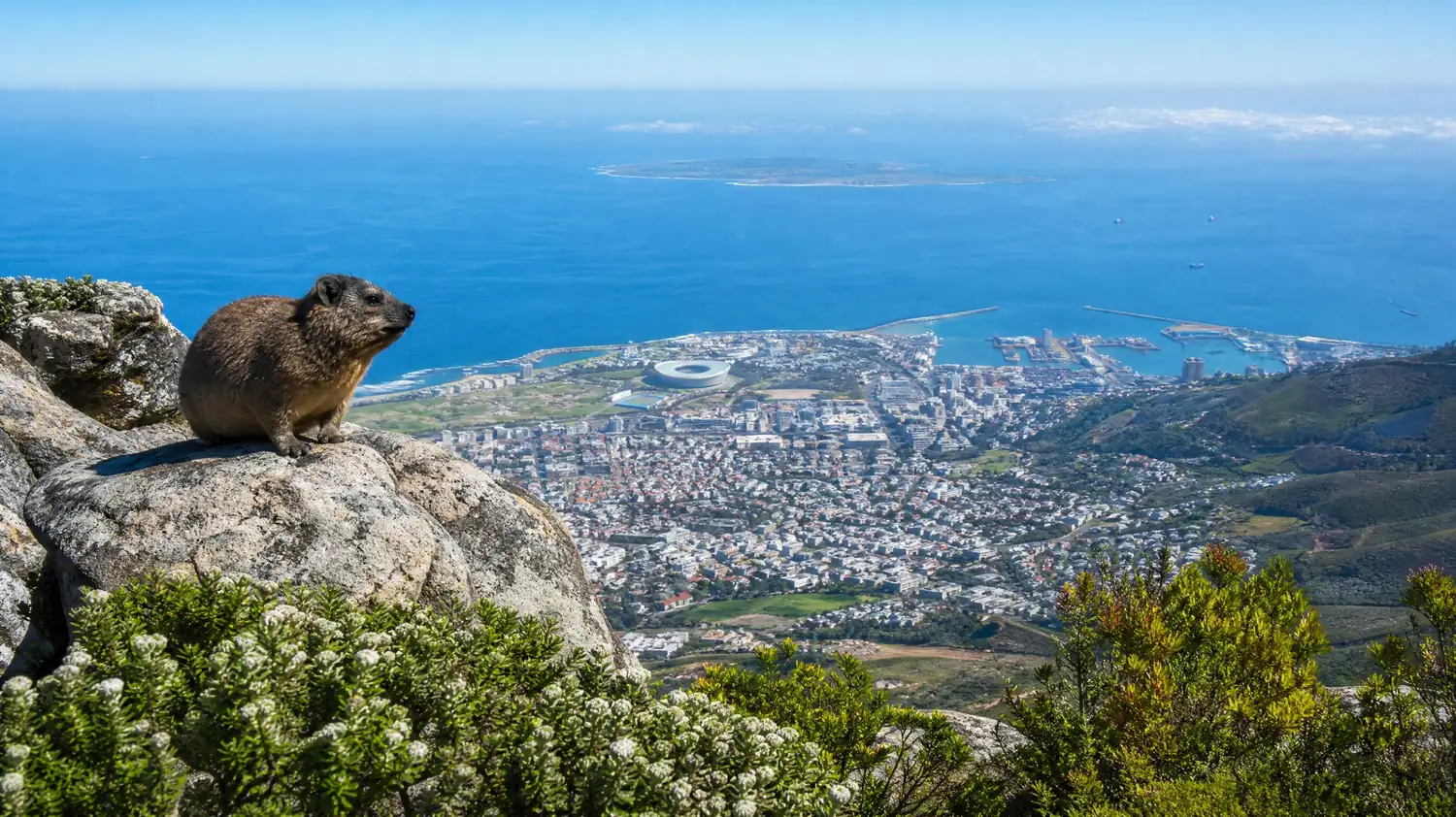
Choose the route and the meeting point, from Platteklip to Kasteelspoort or the Diving Board, with a guide who knows the quiet photo spots.
Check dates for the choose-your-route hikeHow do you get to Maclear's Beacon, the highest point?
Walk east across the plateau from the Upper Cable Station: about 5.5 km return and 2 hours on an easy, rocky path. At 1,086 m, the stone cairn at Maclear's Beacon is the highest point of Table Mountain and of the whole Cape Peninsula.
The cable station sits at the western end of the plateau, lower than the far end, so most visitors never reach the true summit. The path to the beacon is marked, crosses open fynbos and rock pools, and is easy in clear weather; in cloud, stay on the path and turn back if you lose sight of the markers. Thomas Maclear, the astronomer at the Cape, had the cairn built in 1844 for his measurement of the Earth's shape.
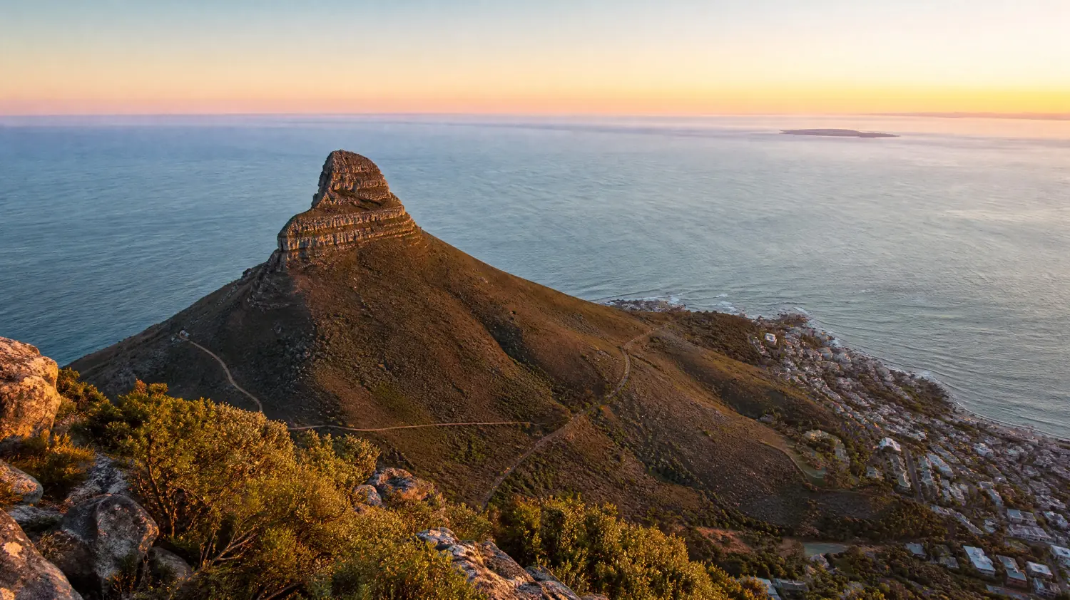
Hikers coming up Skeleton Gorge or Nursery Ravine pass close to the beacon on the way to the cableway, which makes it the natural summit for the Kirstenbosch routes. What else is on the top, from the dassies to the cafes, is in the guide to the top of Table Mountain; if you are still deciding between this mountain and the smaller peak next door, see Table Mountain or Lion's Head.
Frequently asked questions
Which Table Mountain route has the best views?
Kasteelspoort for the Atlantic, the Twelve Apostles and Camps Bay; India Venster for the city and Table Bay straight below you. Platteklip looks over the city bowl, Lion's Head and Robben Island, but mostly behind you as you go up.
Is there a gate or ticket on the hiking routes?
No gate or ticket on Platteklip Gorge, India Venster, Kasteelspoort or the Pipe Track: you simply walk up. The routes from Kirstenbosch start inside the botanical garden, so you enter through the garden first, and the cableway is a separate ticket.
Can you walk up Table Mountain and take the cable car down?
Yes, and it is the most popular plan. The cableway sells one-way tickets; buy yours on the day or at the top, and be ready to walk down Platteklip Gorge if wind closes it.
Which route do guided hikes use?
Platteklip Gorge most often. Some operators choose the route on the day by weather and fitness, and others offer India Venster, Skeleton Gorge or Kasteelspoort as fixed routes.
Ready to book
Choose your hike
Check your date and the live price on GetYourGuide; the refund terms are shown on each option.
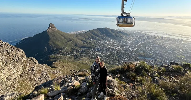
Table Mountain Hike, Choose Your Route
Platteklip, India Venster, Skeleton Gorge or Kasteelspoort, with photos taken for you
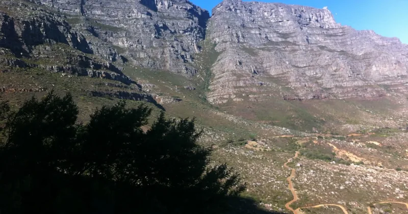
Platteklip Gorge Hike with Pickup
- Pickup and drop-off in the City Bowl area
- A qualified mountain guide up Platteklip Gorge
- Water and a snack
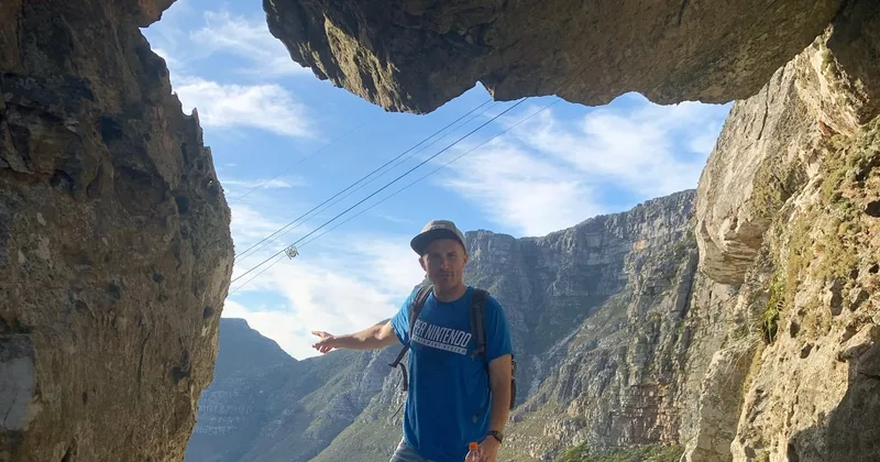
India Venster Half-Day Hike
The hardest classic route, with short scrambles on staples and chains, coached by a guide